 " />
" />
 " />
" />
 " />
" />
 " />
" />
 " />
" />
 " />
" />
 " />
" />
 " />
" />
 " />
" />
 " />
" />
 " />
" />

 |
| Mt. Mayon Aerial view |
Mt. Manunggal is situated in Brgy. Magsaysay, Balamban in the Queen City of the South - Cebu. Elevation is measured at 1003 Meters above sea level, making it the highest peak in Central Cebu. This is where Mt. Pinatubo, the presidential plane carrying former President Ramon Magsaysay along his 26 crews/staff, crashed and brought them to their untimely death on 17 March 1957 with only one survivor.
 |
| Entry point signage |
Itinerary
0535 - Departure to Cebu
 |
| Established Trail |
0730 - ETD Balamban
0930 - ETA Balamban
0945 - Start trek to Historical sites (Mt. Manunggal)
1000 - Mt. Manunggal view deck
1030 - Descent
1100 - Head Back to City (Rico's Lechon)
1300 - ETA Ricos's Lechon (Late lunch)
1430 - ETD Liloan Lighthouse
1515 - ETA Liloan Lighthouse
1600 - ETD Sampaguita Suite (check in)
1700 - ETA Sampaguita Suite (check in) (siesta time)

2000 - late dinner
2100 - head back to sampaguita
2000 - off to dreamland

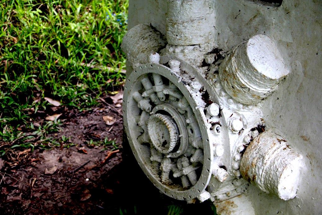 |
| Engine of C-47 plane |
 We arrived at exactly 7 a.m. at the Mactan International Airport. We were welcomed by Master Luz and friends, and immediately hit the road going to Balamban. There are different trails to reach Mt. Manunggal, but due to limited time, we chose the easiest trail. We hiked through
the established tourist trail towards the peak of Mt. Manunggal. We saw
the actual spot where the plane crashed, the engine etched in the area serving as its marker. Another
cemented wall was constructed with a “marble plate” where the names of
the 27 passengers of Mt Pinatubo are engraved.
We arrived at exactly 7 a.m. at the Mactan International Airport. We were welcomed by Master Luz and friends, and immediately hit the road going to Balamban. There are different trails to reach Mt. Manunggal, but due to limited time, we chose the easiest trail. We hiked through
the established tourist trail towards the peak of Mt. Manunggal. We saw
the actual spot where the plane crashed, the engine etched in the area serving as its marker. Another
cemented wall was constructed with a “marble plate” where the names of
the 27 passengers of Mt Pinatubo are engraved.  |
| Pres. Magsaysay Marker (summit view deck) |
 |
| Panoramic View |
 |
| powered by: C&DandOT |
 |
| Pres. Ramon Magsaysay Statue |

After 15 minutes of trekking, we reached the Marker of President Ramon Magsaysay. We rest a bit, took pictures and enjoy the scenery. The climb also served as a Birthday Climb for Felix, Luz and Ronfel. It was a great experience visiting this historical site. Afterwards, we then headed to the city for our lunch.
 |
| Birthday Celebrants |
 |
| Girl Powers! |
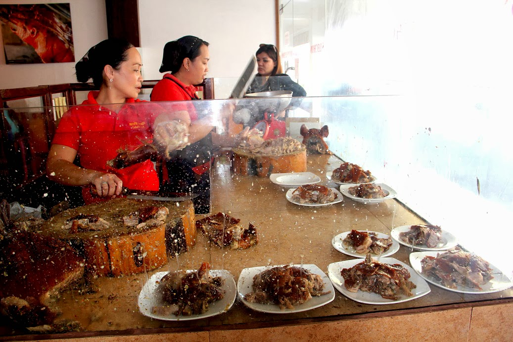 |
| Rico's Lechon |
We traveled two hours on a zigzag road heading back to city. We reached Rico's lechon around 1:30PM. It took us a long while to get enough seats for everyone, but it's worth the wait - Cebu Lechon! After resting, we headed to Lilo-an, Cebu to visit Bagacay Lighthouse. Then we headed to Sampaguita Suite.

 |
| Let's eat,!!!yum! |
 |
| glimpse of Bagacay Lighthouse |
To all who've been part of this adventure. I would like to take this opportunity to Thank You from the bottom of my heart ^_^
Special thanks to the Birthday Girl Master "Luzlie" for assisting our group. It's a hassle-free and we truly appreciate your efforts and support. Until our next adventure..
(Click this Link for Bagacay Point Lighthouse)
 |
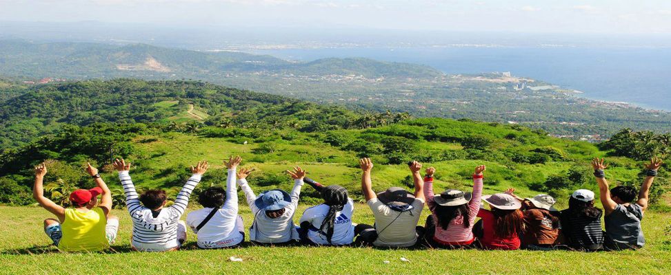
| Group Picture |
Day 1 (20 pax)
12000 - 2 Rented Van (6k per van)
120 - lunch (Ricos's Lechon)
120 - Dinner
300 - Sampaguita Suites
nice adventure indeed!
ReplyDeleteang saya saya nito tingnan, large group in Mt. Manunggal... I want to go there!!
ReplyDelete