" />
" />
 " />
" />
 " />
" />
 " />
" />
 " />
" />
 " />
" />
 " />
" />
 " />
" />
 " />
" />
 " />
" />
 " />
" />
 |
DAY 1
 |
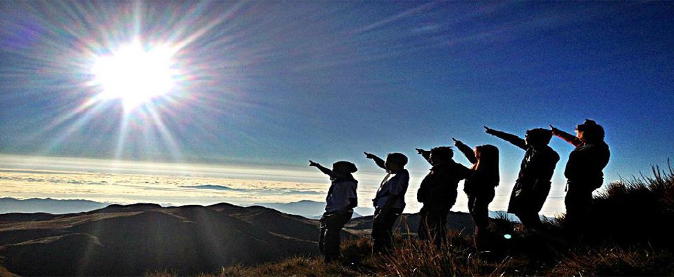
| Group Picture before the climb (so fresh!) |
0500 : Assembly at Jam Transit Buendia Terminal (Pasay)
0530 : ETD from Jam Terminal to San Pablo City
0800 : ETA Chowking, San Pablo Terminal
0815 : Wait or board jeep to Bgy.Tanay (Kuya Joel Hapon)
0820 : ETD from San Pablo to Bgy.Tanay
1000 : ETA Bgy.Tanay (prepare for trekking)
1010 : Start trek
1200 : ETA Green Mountain, stop for lunch (Pack Lunch)
1230 : Start ascend to Jones Peak
1600 : ETA Jones Peak (take picture, better if we reach the peak on sunset)
1615 : Start descent to saddle for camping
1700 : ETD Saddle for camping
1800 : Dinner
1900 : Socials
2200 : Lights out
DAY 2
 |
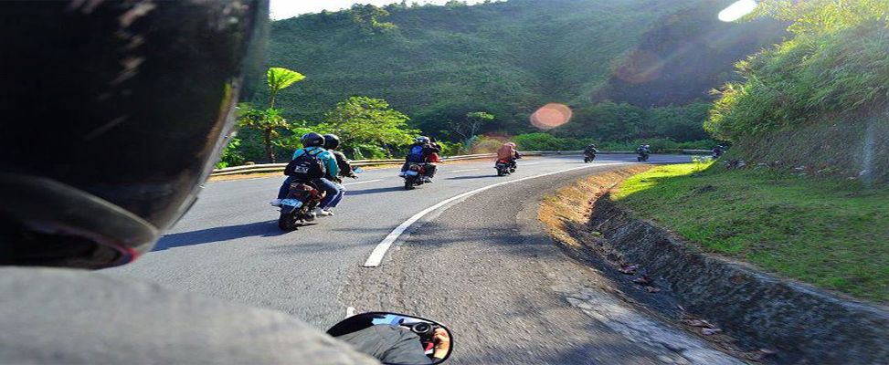
| Start Trek |
0530 : Wake-up call (prepare for breakfast)
0650 : Break camp
0700 : ETD Start descent to Kinabuhayan
1030 : ETA Montelibano's House
1130 : ETA Kinabuhayan (Lunch & preparation to go to San Pablo, Laguna)
1330 : ETD Kinabuhayan to San Pablo
1530 : ETD San Pablo to Manila
1830 : Manila (Home Sweet Home)
 |
| Montelibano Waiting Area |
Mt. Cristobal also known as "Devil's Mountain", -due to its "W" shape as well as creepy secrets and mysteries.
After a trilogy in Batangas, Malipunyo, Manabu and Susong Dalaga. Climb&Dive family chose this place to celebrate Anniversary climb.

 |
| Assault |
We walked through an uphill, cemented road followed by bushy, forested area. It took us approximate1 hour before reaching "Montelibano House", where we registered and took our lunch prior to resuming the trek. From here, you can refill water and can use their restroom. Then we turned right and took an uphill way again.
Trekking way up was very tiring of course, but it's really relaxing once you felt the blowing breeze of air coming from somewhere, added by tall trees giving shade and those moisten bark of trees everywhere.
 |
| Bulwagan Campsite |
We reached the Bulwagan campsite and surprisingly, we saw a lot of "Happy Camper" in the area. We simply looked some space for us to stay.
During night time - we experience cold weather, I was not prepared that time, my jacket was not enough to regain my body heat.
 |
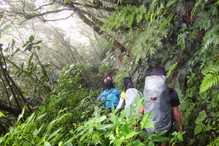
| Zero Visibility at the Summit |

 |
| Boodle Fight |
On the next day, after taking our breakfast, we head the trail that way to summit, After passing the forested area, we went to a trail densed with cogon grass. It was like passing on a grass tunnel, so basically we had to bend down each time until we reached the end up to the summit. Still no clearing for us this time, so we just paused for a moment, took some pictures and decided to descend.
 |
| Entering Mall for Dinner |
We broke tent quickly and descended until we reached Montelibano House. We had a late boodle fight lunch. Prepared our stuff then head back to Manila.
We reached Manila around 2000H, and decided to take our dinner at Mang Inasal, the funny thing was, we need to enter the Mall, so thet Guard would have to check our Bulky Full Packs. The good thing is, he had a metal detector, so he simply put detector in front of the bag.
Another Successful event Happy Anniversary Climb&Dive Family...
 |
| Group Picture (Bulwagan Campsite) |
Mt. Cristobal Video <------
Budget Breakdown:
340 - Cubao -San Pablo (Vice Versa)
50 - Bargy. Tanay Rented Jeep (Vice Versa)
150 - Share Food, Butane etc...