Slideshow Header


  • " />

    Visit our new website

    lakbaybuhay.com
  • " />

    Adventure is out there

    lakbaybuhay.com
  • " />

    Your wave is waiting

    lakbaybuhay.com
  • " />

    Let's take a roadtrip

    lakbaybuhay.com
  • " />

    It's always sunny above the clouds

    lakbaybuhay.com
  • " />

    Yes... we can drive a stick

    lakbaybuhay.com
  • " />

    fresh start... and a beautiful new beginning

    lakbaybuhay.com
  • " />

    On the road

    lakbaybuhay.com
  • " />

    Let's get outta here

    lakbaybuhay.com
  • " />

    Happy hour at the beach

    lakbaybuhay.com
  • " />

    Life is never easy for those who dream

    lakbaybuhay.com

Nuffnang Ads

Sunday, March 9, 2014

Cebu : Mt. Manunggal

Mt. Manunggal in Balamban Cebu

Mt. Mayon Aerial view

Mt. Manunggal is situated in Brgy. Magsaysay, Balamban in the Queen City of the South - Cebu. Elevation is measured at 1003 Meters above sea level, making it the highest peak in Central Cebu. This is where Mt. Pinatubo, the presidential plane carrying former President Ramon Magsaysay along his 26 crews/staff, crashed and brought them to their untimely death on 17 March 1957 with only one survivor.


Entry point signage

Itinerary

0535 - Departure to Cebu
Established Trail
0700 - Arrival to Cebu
0730 - ETD Balamban
0930 - ETA Balamban
0945 - Start trek to Historical sites (Mt. Manunggal)
1000 - Mt. Manunggal view deck
1030 - Descent
1100 - Head Back to City (Rico's Lechon)
1300 - ETA Ricos's Lechon (Late lunch)
1430 - ETD Liloan Lighthouse
1515 - ETA Liloan Lighthouse
1600 - ETD Sampaguita Suite (check in)

1700 - ETA Sampaguita Suite (check in) (siesta time)
1900 - Sky adventure (Regency Tower)
2000 - late dinner
2100 - head back to sampaguita
2000 - off to dreamland


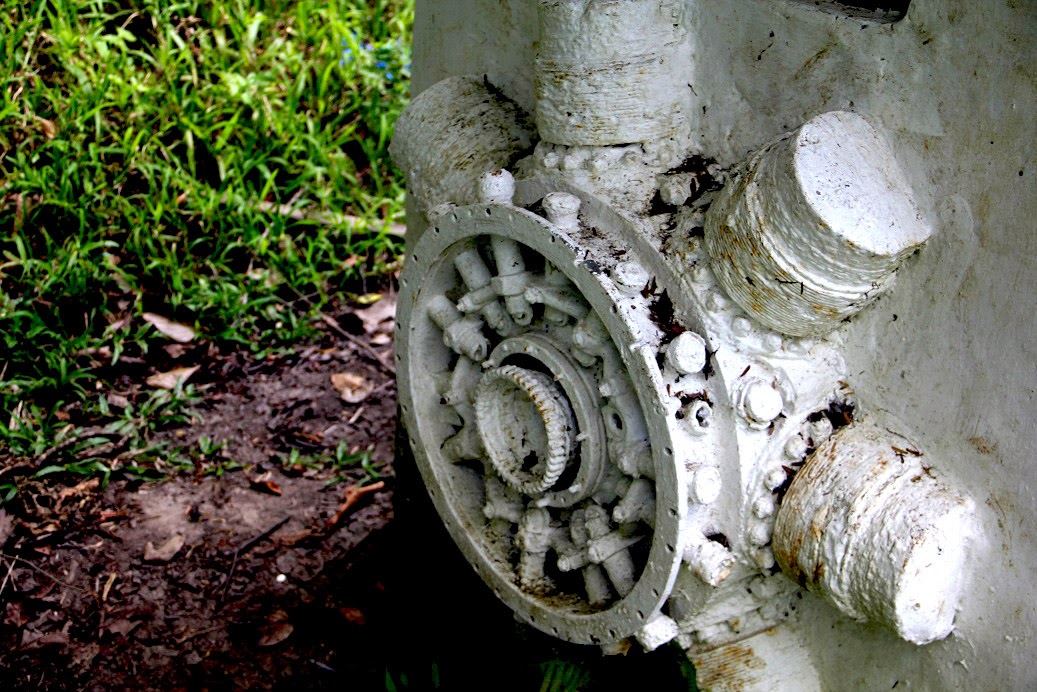
Engine of C-47 plane
We arrived at exactly 7 a.m. at the Mactan International Airport. We were welcomed by Master Luz and friends, and immediately hit the road going to Balamban. There are different trails to reach Mt. Manunggal, but due to limited time, we chose the easiest trail. We hiked through the established tourist trail towards the peak of Mt. Manunggal. We saw the actual spot where the plane crashed, the engine etched in the area serving as its marker. Another cemented wall was constructed with a “marble plate” where the names of the 27 passengers of Mt Pinatubo are engraved.
Pres. Magsaysay Marker (summit view deck)
Panoramic View
powered by: C&DandOT
Pres. Ramon Magsaysay Statue

After 15 minutes of trekking, we reached the Marker of President Ramon Magsaysay. We rest a bit, took pictures and enjoy the scenery. The climb also served as a Birthday Climb for Felix, Luz and Ronfel. It was a great experience visiting this historical site. Afterwards, we then headed to the city for our lunch.


Birthday Celebrants
Girl Powers!
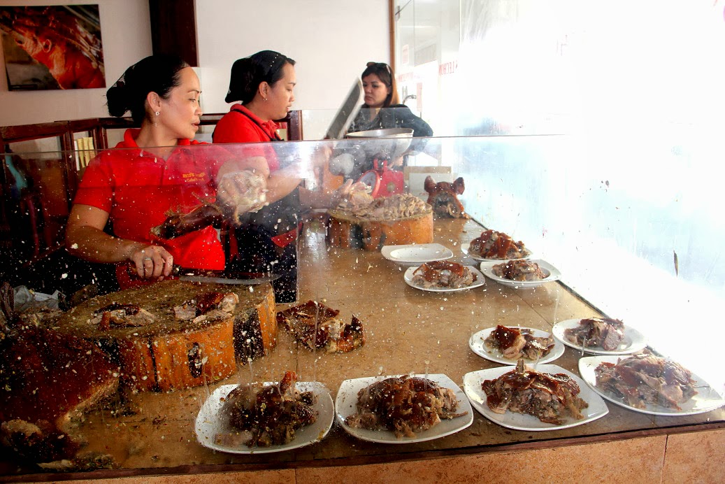
Rico's Lechon


We traveled two hours on a zigzag road heading back to city. We reached Rico's lechon around 1:30PM. It took us a long while to get enough seats for everyone, but it's worth the wait - Cebu Lechon! After resting, we headed to Lilo-an, Cebu to visit Bagacay Lighthouse. Then we headed to Sampaguita Suite.


Let's eat,!!!yum!
glimpse of Bagacay Lighthouse

To all who've been part of this adventure. I would like to take this opportunity to Thank You  from the bottom of my heart ^_^

Special thanks to the Birthday Girl Master "Luzlie" for assisting our group. It's a hassle-free and we truly appreciate your efforts and support. Until our next adventure..

(Click this Link for Bagacay Point Lighthouse)
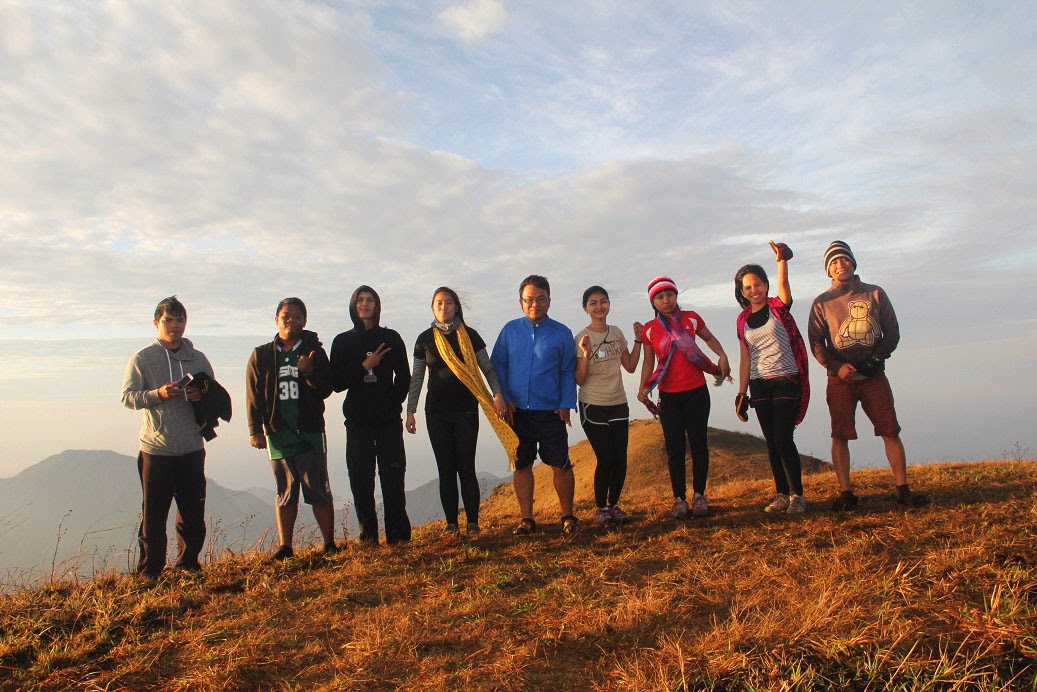
Group Picture
Budget Breakdown:

Day 1 (20 pax)
12000 - 2 Rented Van (6k per van)
120 - lunch (Ricos's Lechon)
120 - Dinner
300 - Sampaguita Suites


Saturday, February 8, 2014

Mt. Balingkilat

Mt. Balingkilat in  Subic Zambales

Start Trek

Mt. Balingkilat is a hiking destination in the province of Zambales, it is located within San Antonio and Subic towns that has scenic views and interconnects beautiful coves.

According to Kuya Plaridel, our friendly local Guide, the word "Balingkilat " came from "Thunder" it is described -  "Mountain of Thunder" in the native Aeta language.


first stop (kawayanan)
Our day started at 01:00AM along Victory Liner Cubao. Then we headed to Olongapo. After 3hours of traveling. We transfer to our rented jeep going to Sitio Cawag. Upon arriving at Brgy. Hall, friendly local's  greeted us with their sweet smile.

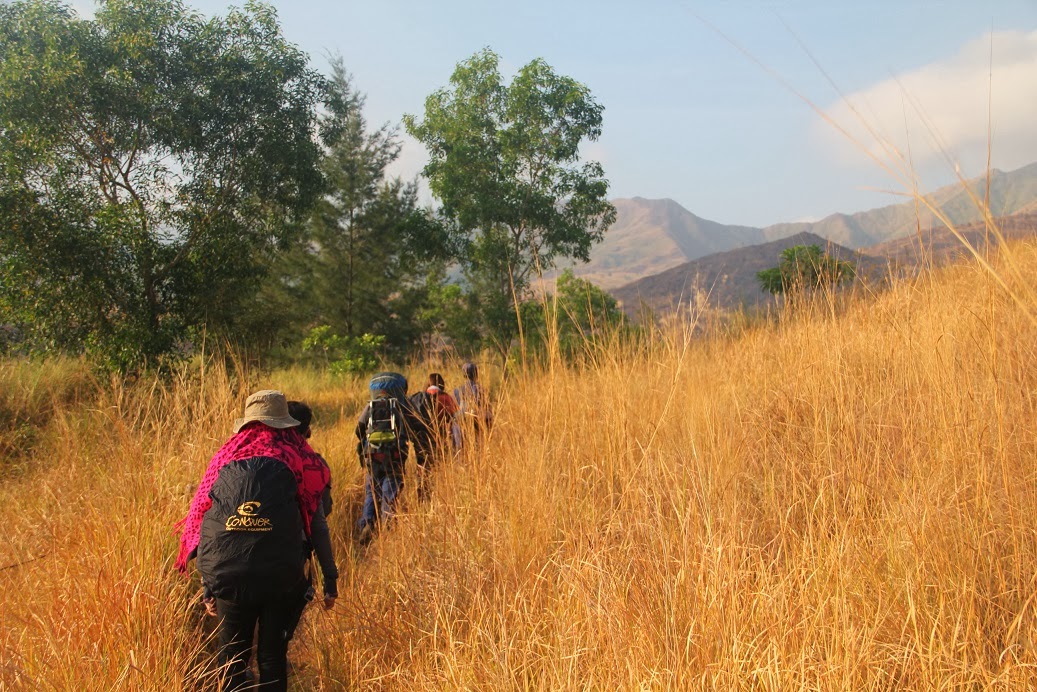
After the registration, we chose Kuya Plaridel as our guide and started to head our way to jump-off. On that point to the mountain at around 08:00am we started our trek with regular warm-up strides.
resumed trek
Itinerary


0100H Meet-Up Place : Victory Liner CUBAO
0230H Take Victory Liner bus from Cubao to Olongapo
0600H Take Rented Jeep to Sitio Cawag, (drop by near market)

0630H Buy Supplies (packed lunch)
Mt. Cincos Pico view along the trail
0730H ETA Sitio Cawag (register, arrange guide)
0800H Start Trek 
0930H Kawayanan (rest, lunch siesta time)
1130H resume trek
1700H ETA campsite (sunrise viewing)

1800H set-up camp (prepare dinner
1900H Dinner

2000H Socials
2200H Lights Out


Day 2
0530H Wakeup Call/Breakfast
0700H Commence summit assault
0715H ETA summit
0930H Back to Campsite/Breakcamp
1030H Start Descent.

group picture along the trail
1230H Kawayan (prepare lunch)
1330H Late Lunch
1500H resume trek to jump-off
1600H jump-off wash-up
1700H Head back to Olongapo City
1800H Dinner

2000H Take Victory Liner Bus 
2300 ETA in Manila


Keep calm and Travel on (Mt. Cincos Pico and Mt. Dayungan as the background)
Sunset Panoramic view from campsite
chopseuy ala Denver


 The first hour was technically easy and "walking in the park" trail, there were no ascents or steep assaults met along the way. We reached Kawayanan Campsite at around 09:30 AM. It is the only shaded campsite in the entire mountain and the last water source throughout the ascent. Our group decided to stay long and have an early lunch in the area afterwards took a "Power Nap".


Socials
Sunrise viewing
campsite view with neighboring mountains
at the summit

  We resumed our trek around 11:30AM, by that time, we were so exposed to the sun and our energy drained by heat, so from time to time we need to take rest. We always look a shaded part of the grass land. After 5hours of trekking, we reached the campsite. We witnessed the spectacular and stunning view of neighboring mountains, all hardship and sacrifices that we experienced along the trail was worth it.


sunrise viewing at the summit
high elevation view of campsite with neighboring mountains
lovely couple (elie and sheng)

 We set-up camps and prepare our food for dinner.  Night time - so windy, we just finished our socials early due of the coldness we felt outside the tents.

We woke-up early and explore the summit, by that time, we took some picture but unfortunately fog covered the area and we decided to head back to campsite to prepare for breakfast. After eating breakfast, we hit again the trail to summit and managed our shots!
Jenny conquered Balingkilat
panoramic view from the summit
dream high by denver
with my sweet explorer (kileg!)

 The sun is coming up, at first it was all good because of the mixture of cold wind and warm ray of the sun, but as the time goes by and the sun rays are stinging. We broke our camp and immediately went down a little bit faster. We're running out of water. Under the heat of the sun, we felt like we're walking in the middle of a desert and will collapse due to heat stroke anytime. We drink water little by little to relieve our thirst.


chill at summit
descent
 
The trail may be very easy, but the situation made it one of most challenging, the exposure to the heat of sun, your energy will surely drain. We made us realized how water is so important in humans, without water, we would die, every living thing, trees, nature, sea life, everything needs water to survive. Luckily after two hours of trekking we reached again "kawayanan" we missed this place so much!.  We prepare our late lunch while waiting the others.
balingkilat survivors with kuya Plaridel
Descent


Afterwards, we decided to take again "power nap", then we resumed our trek. The adventure may be the first time for some of us, yet it brought a whole lot of experience, perhaps a good memories to treasure as well as the fortitude to test one’s limitations. Against all circumstances, you can conquer something, not just the mountain, but also your self.


day 2 lunch (kawayanan)
siesta time


Dinner (greenwich olongapo)
On behalf of Outdoor Trippers, I congratulate you all guys for conquering the hottest climb of your life. Burned nothing but calories.

Special thanks to Denver for your unlimited Birthday Celebration.

Until next time guys, see you on March for the continuation and sequel of this adventure ^_^
soyah!


Group Picture (OT Invitational Climb)
Mt. Balingkilat Video <------ 

Budget Breakdown:

(9 pax)

212 - 207+5 (Cubao - Olongapo plus insurance fee)
100 - (Olongapo - Cawag) rented Jeep (900/9)
22 - share butane (65x3=195/9)
62 - food and socials (550/9)
60 - Reg Fee (cawag settlement)
89 - (Guide Fee 600 plus tip 200) 800/9
20 - Ligo 
111 - (Cawag - Olongapo) rented jeep (1000/9)
112 - Dinner at greenwich (1000/9)
212 - 207+5 (Olongapo - Cubao plus insurance fee)

1000 (all in budget)